Tokyo Heavy Rain Alert: What Travellers Need to Check on 8 September 2026
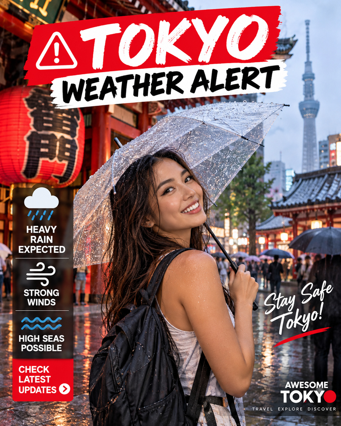
Tokyo's official tourism site is warning visitors about heavy rain and high waves as a typhoon approaches the Kanto area. Central Tokyo has already had a very wet 48 hours, while parts of Tokyo's Izu Islands have faced far more severe conditions. Here is what matters if you are travelling today.
The short version: this is a heavy-rain and disruption alert, not a claim that central Tokyo is under a Level-5 emergency or that the whole city is closed. GO TOKYO currently warns that an approaching typhoon may affect Kanto and that heavy rain and high waves could affect parts of Tokyo even before arrival. JMA's Level-5 landslide special warning on 7 September was for Niijima in the Izu Islands, not central Tokyo. Check live weather, rail and flight information before each major journey today.
If I were in Tokyo today, I would keep the trip moving — but I would stop treating the itinerary as fixed. Indoor districts, museums, shopping and food are much easier to swap around than a waterfront walk, island trip or long cross-city transfer. The point is not to panic; it is to let current official information outrank the plan I made last week.
1. What is happening in Tokyo on 8 September?
GO TOKYO, the Tokyo Metropolitan Government's official visitor site, is carrying a current information notice saying an approaching typhoon may affect the Kanto area. It warns that heavy rain and high waves can affect parts of Tokyo even before the system arrives, and specifically tells visitors with plans near the sea or rivers to keep checking weather, traffic and public-safety information.
That wording matters. The practical problem is not simply the centre of a storm on a map. Moist air, fronts, rain bands, swollen waterways and rough coastal conditions can disrupt travel before or away from the storm's centre. I would plan around the conditions actually reported where I am going rather than arguing with the label on the weather system.
2. Central Tokyo and the Izu Islands are not the same warning
The most serious official warning in the Tokyo jurisdiction has been in the Izu Islands. On 7 September, the Japan Meteorological Agency issued a Level-5 landslide special warning for Niijima Village, saying rainfall there was unlike anything normally experienced and that life-threatening danger was imminent.
That Level-5 notice should not be copied onto a central-Tokyo map. Niijima is an island south of the metropolitan mainland. If your trip is only Shinjuku, Shibuya, Ginza, Asakusa and similar central areas, the correct takeaway is heavy-rain and transport vigilance — not “Tokyo city is under Level 5”. If you are on, or travelling to, the Izu Islands, the island-specific warning and local evacuation information are the priority.
3. The rainfall numbers show why the alert is worth taking seriously
JMA's preliminary 48-hour observations published this morning show 172.5 mm at the Tokyo observation point in Chiyoda, 155.5 mm at Edogawa Rinkai and 153.0 mm at Haneda. Those totals do not mean every street experienced the same conditions, but they confirm that the mainland city has had a substantial amount of rain.
The island totals are on another scale. JMA recorded 757.5 mm at Oshima over 48 hours, while several Izu Island observation points reached or exceeded historical records. That is why I would be extremely careful about mixing “Tokyo” as an administrative label with “central Tokyo” as the place most visitors mean.
4. Is Tokyo closed?
No blanket Tokyo closure is stated in the official sources checked for this guide. GO TOKYO is telling visitors to monitor weather, traffic and safety information, and it provides direct links to JMA, Haneda, Narita, JR East, JR Central, Tokyo Metro and Toei Transportation.
That is the model I would follow: check the exact service or attraction I intend to use. A normal-looking street outside the hotel does not guarantee that the railway line, airport sector, river cruise, island ferry or waterfront attraction at the other end of the journey is operating normally.
5. Trains: check the line, not “Tokyo transport” as one system
Tokyo's transport network is a collection of operators and lines, so disruption can be very localised. I would check the exact route immediately before leaving, especially for airport transfers, Shinkansen connections or any itinerary that depends on a final train.
If one route is delayed, the smartest response may be to wait, use another operator, change the order of the day or simply stay in the district I am already in. I would not turn a ten-minute delay into a two-hour taxi detour without checking whether the original service is already recovering.
6. Haneda and Narita: verify the exact flight before heading out
I found no basis in the current official visitor warning to claim that Tokyo's airports are under a blanket closure. What GO TOKYO does do is link travellers directly to the live Haneda and Narita traffic information pages.
If I were flying today, I would check the airline first, then the airport, then the rail or road transfer. The weather at Haneda has already been wet — JMA's Haneda observation point recorded 153.0 mm in the 48 hours to 06:00 — so I would leave sensible buffer without assuming disruption that has not actually been announced for my flight.
7. Sea, river and waterfront plans deserve the biggest rethink
GO TOKYO explicitly calls out plans near the sea or rivers. That puts Tokyo Bay, waterfront promenades, boat trips and river-side itineraries in a different category from an indoor museum or department store.
I would not use an old forecast or yesterday's screenshot to decide whether an Odaiba waterfront walk, cruise or island departure is sensible. Check the newest warning and the operator's own status. If an area is under an official warning, a “but it looks okay from here” judgement is not a substitute.
8. A better sightseeing strategy for a wet Tokyo day
- Keep one neighbourhood compact. Shinjuku, Shibuya, Ueno, Ginza and Ikebukuro all have enough indoor options to avoid crossing the city repeatedly.
- Move outdoor anchors, not the whole trip. Swap the long park, river or bay segment with tomorrow if conditions improve.
- Use underground connections. Large station districts can keep a surprising amount of the day under cover, but station exits can still put you into exposed streets quickly.
- Do not schedule the airport transfer at the absolute minimum. A weather day is a poor time to depend on every connection running to the minute.
- Keep the phone charged. Weather warnings, route changes and operator notices are more useful when the battery is not at 4%.
9. If you are staying on or travelling to the Izu Islands
Treat this as a different level of planning. JMA's 7 September Level-5 notice for Niijima said there was an extremely high probability that a disaster had already occurred in landslide-risk areas and instructed people to secure their safety immediately.
If you are physically on an affected island, local municipal evacuation instructions and JMA warnings outrank a general Tokyo travel article. If you were planning an island trip from the mainland, I would confirm the transport operator and destination conditions before leaving Tokyo for the port or airport.
10. The five checks I would make before leaving the hotel
1. JMA warning for my exact area · 2. exact railway/operator status · 3. exact airline/airport status if flying · 4. attraction or ferry/boat notice if relevant · 5. route home before the weather worsens.
GO TOKYO also points visitors to the Disaster Preparedness Tokyo App, which is available in English, Chinese and Korean. That is more useful on a fast-changing day than relying on a generic travel-site weather summary.
11. How long will this affect Tokyo?
I would not pretend there is one reliable end time for every part of the city. GO TOKYO's current notice says the approaching system may affect Kanto and warns of rain and high waves before arrival. Local conditions, transport recovery and coastal impacts can move on different schedules.
The right question is not “when is Tokyo normal again?” but “what is the status of the exact thing I want to do next?” Re-check after breakfast, before a long transfer and again before an evening waterfront plan.
12. Bottom line
Tokyo is still a workable travel day for many visitors, but 8 September is not a day to run an inflexible itinerary. Heavy rain has already accumulated across the mainland city, GO TOKYO is warning about further rain and high waves, and the Izu Islands have experienced genuinely dangerous conditions.
I would keep central-Tokyo plans flexible, move waterside activities when official warnings make them a bad idea, and check the live status of every important transport leg. That is not overreacting; it is exactly what Tokyo's official visitor guidance is asking travellers to do.
Cheers, Carpe Diem & Stay Weather-Wise! 🍻⏳🌧️
𝗧𝗔𝗧𝗦 𝗠𝗮𝗻
𝘺𝘰𝘶𝘳 𝘛𝘰𝘬𝘺𝘰 𝘸𝘦𝘢𝘵𝘩𝘦𝘳-𝘸𝘢𝘵𝘤𝘩 𝘮𝘢𝘵𝘦
- GO TOKYO — current visitor information notice on the approaching typhoon, heavy rain/high waves and official weather/traffic links.
- Japan Meteorological Agency — Level-5 landslide special warning issued for Niijima Village on 7 September.
- JMA latest observations — preliminary 48-hour rainfall totals used in this guide.
Conditions can change after publication. If a newer JMA, local-government, railway, airport or airline notice conflicts with this article, use the newer official notice.